Captain Tomas
Bull Harbour one Night for waiting to Cross
Tuesday, July 28 · 11:00
Bull Harbour, vancouver island
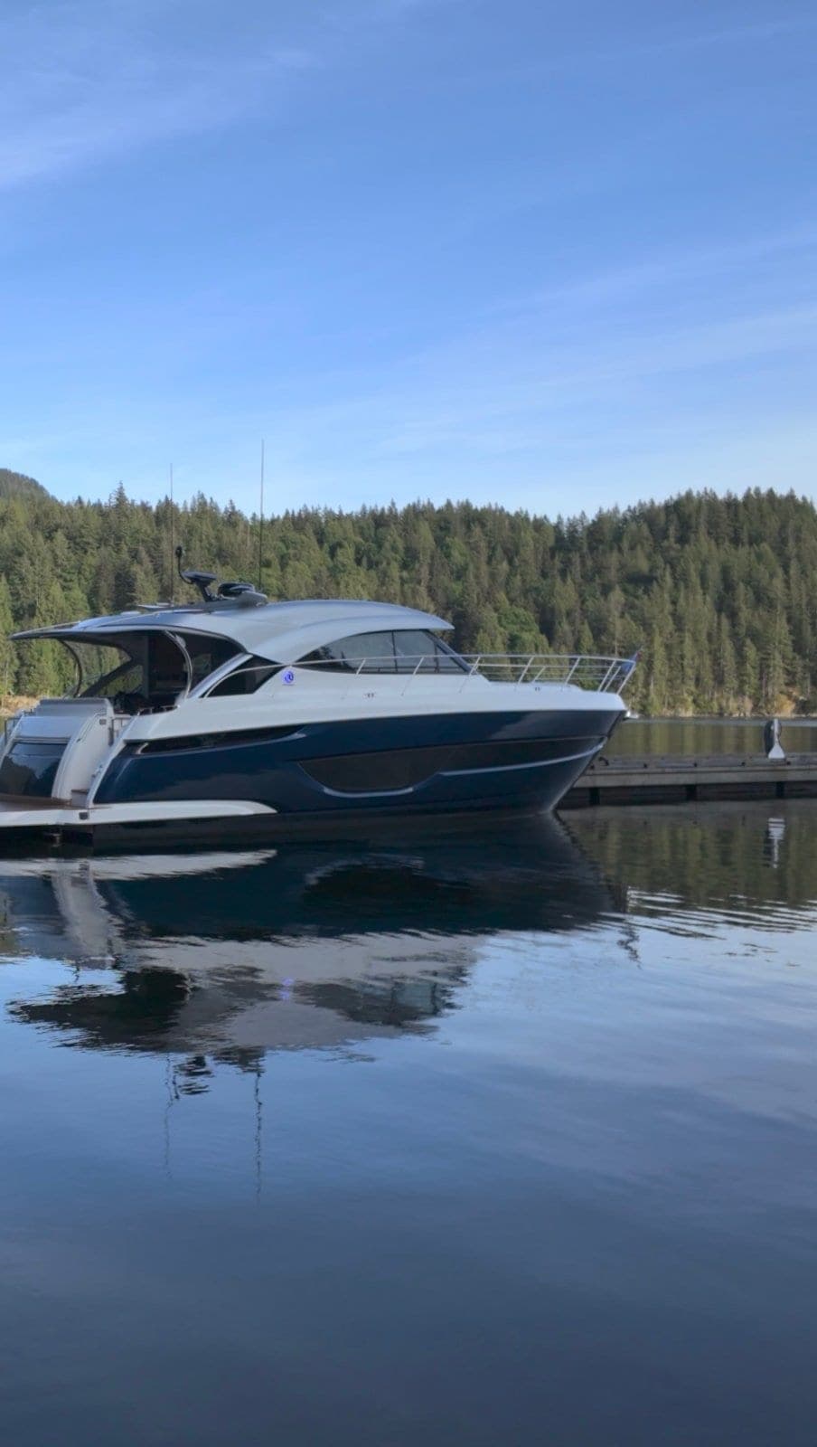
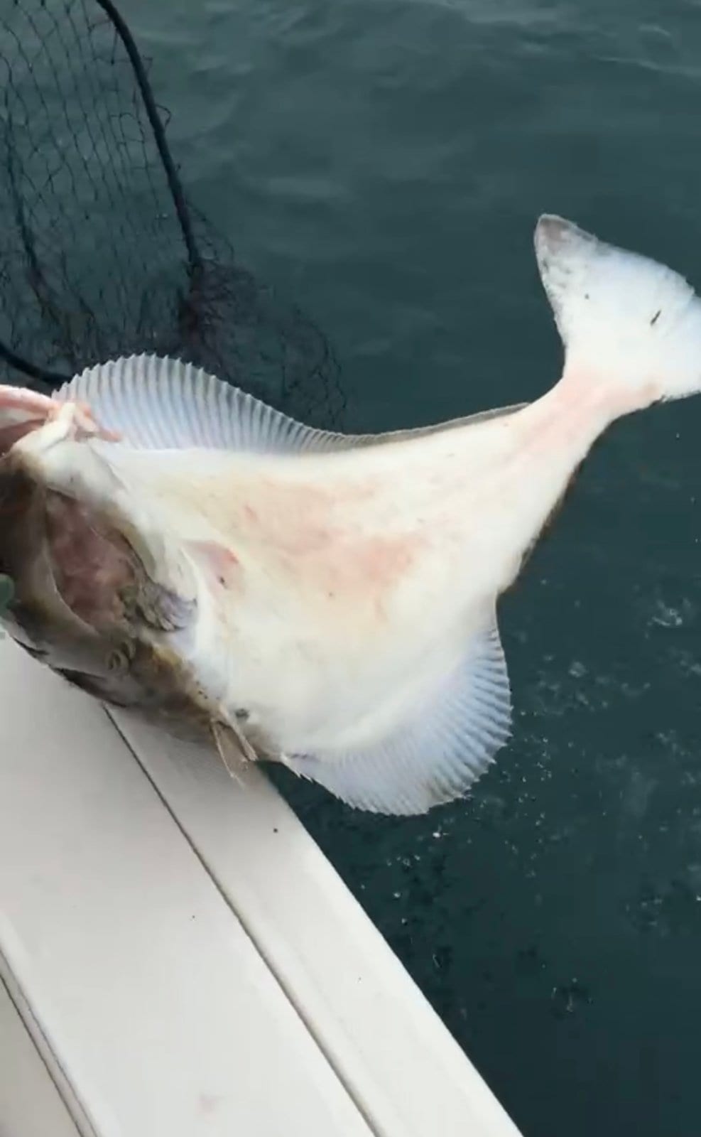
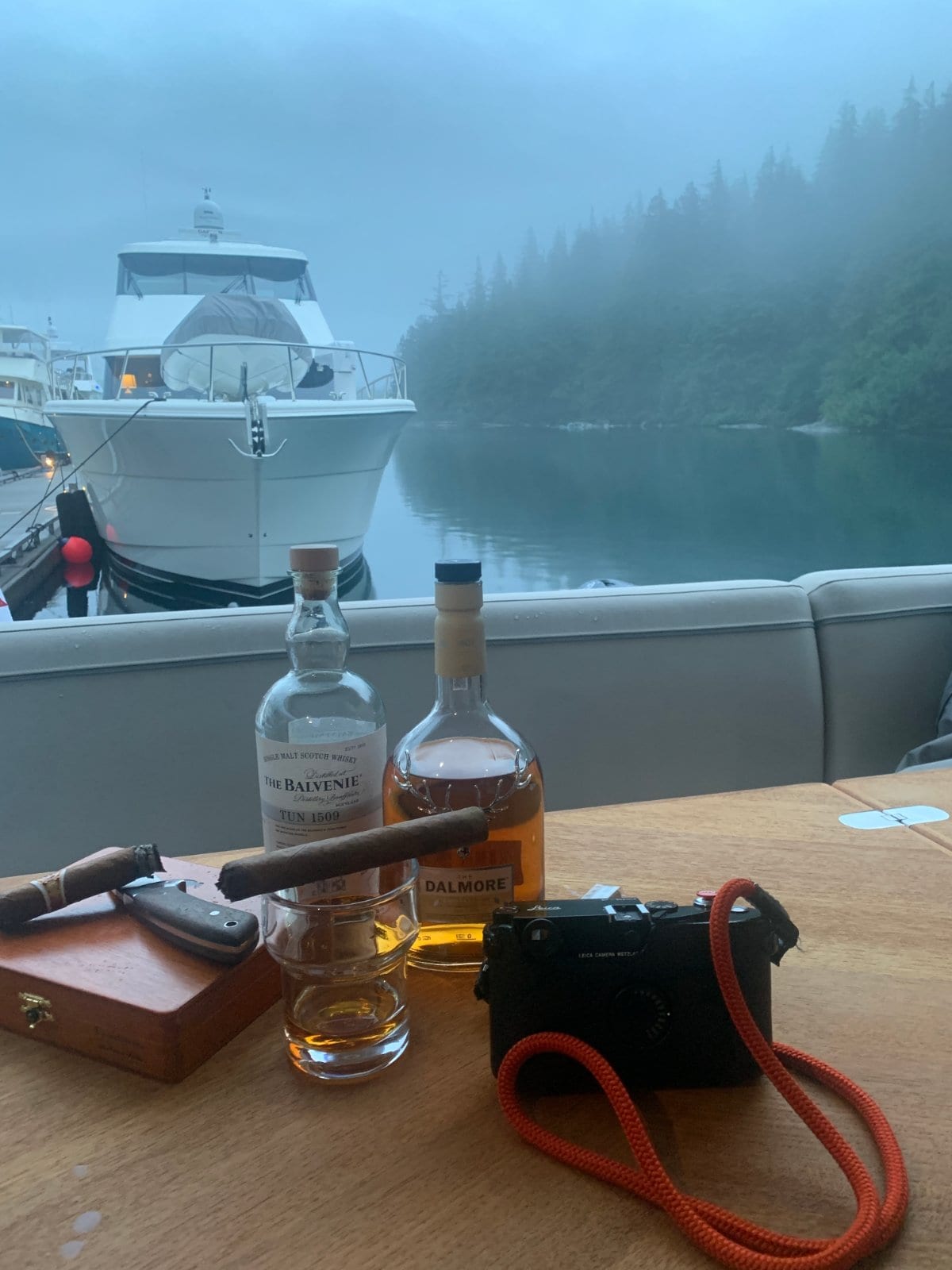
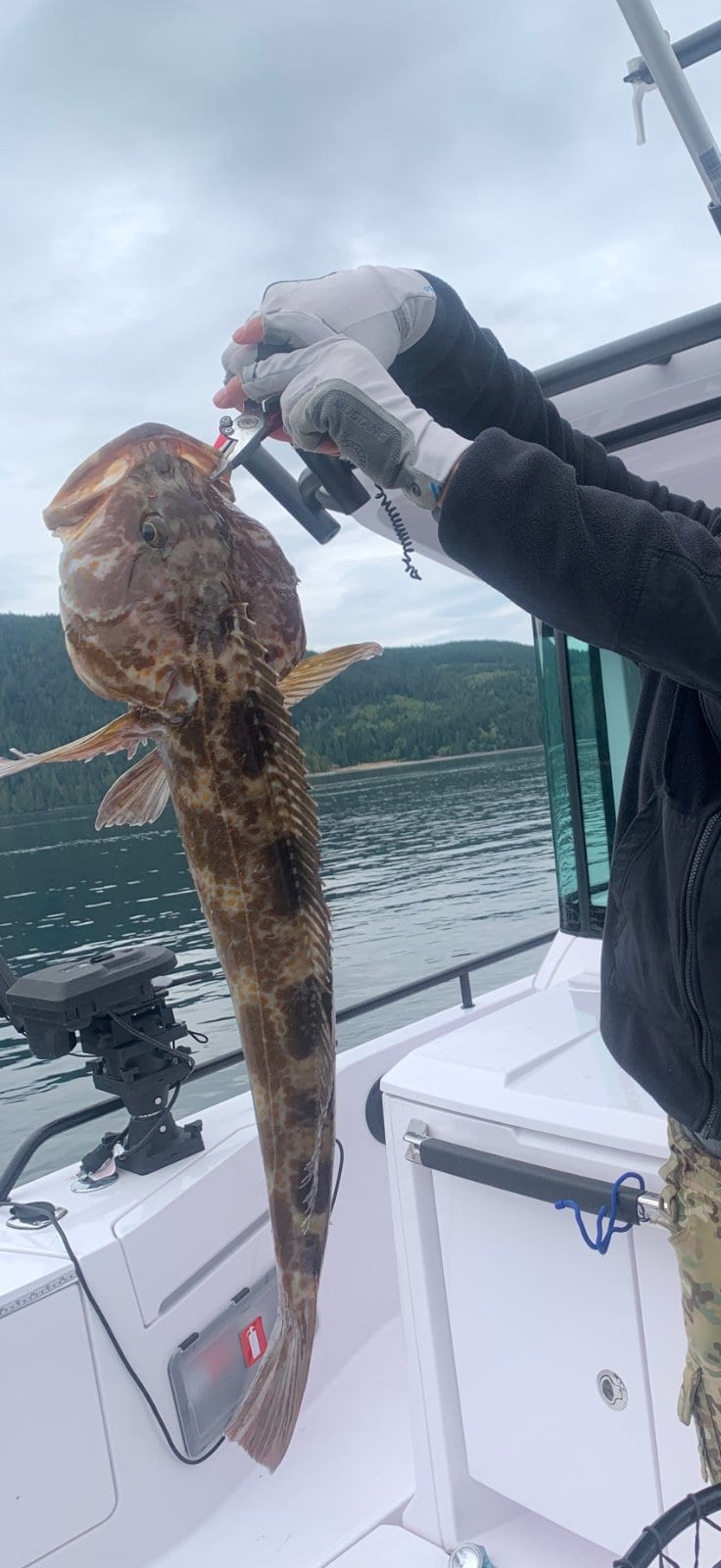
Our plan is to cross the open waters early in the morning, so we'll arrive here around noon on the first day. Then we'll just wait. We'll be staying here for half a day and one evening. If anyone is nearby, feel free to come over for a drink and chat about sailing stories. If you have a fishing boat, you can take us fishing nearby, which would be fun too. Please give us a quote if you need one!
Free or pay
People & history
- Why Bull Harbour's village exists: refugees from a twice-burned town — The Tlatlasikwala village at Bull Harbour was born of gunboat diplomacy: in 1850–51 the Royal Navy (HMS Daedalus, then Daphne) twice shelled and burned Nahwitti, the great fur-trade town at Cape Sutil, over the killing of three HBC deserters — after the chiefs' offer to pay restitution in furs was refused. Most survivors fled here to Hope Island and named their new village "Meloopa"; that site is today's Hope Island 1 reserve. So the quiet anchorage where boats wait for the bar carries the direct legacy of one of BC's first naval bombardments.source →
Land & views
- Nahwitti Bar: the shallow doorstep that drops gravel on deck — Bull Harbour's front porch is Nahwitti Bar, a shallow sandbar roughly 5 km wide where open-Pacific swell meets fast-moving current, and it can turn violent when wind opposes the flow. The measure of its power: trollers sheltering in Bull Harbour have reported finding gravel left on deck — hauled up off the bottom by seas breaking over the roughly 6-fathom bar. The bar was surveyed by HMS Plumper and Hecate in 1860–63, and its "leading marks" were engraved into the 1883 Alaska Coast Pilot. (Context only — crossing decisions are the captain's, on the water.)source →
Good to know
- Nahwitti Bar: 5.5-knot streams and a slack window measured in minutes — CHS Sailing Directions PAC 202 states tidal streams over Nahwitti Bar set east on the flood and west on the ebb, reaching about 5.5 knots at the west end of Goletas Channel, and that heavy rips and overfalls form when the stream is opposed by strong wind — dangerous to small craft. The usable slack is remarkably short: roughly 12 minutes at high water and 17 at low water, which is why boats stage in Bull Harbour only minutes away. Final judgment rests with the captain on the water.source →
- The bar is optional: CHS's inshore route past Tatnall Reefs and Cape Sutil — Many crews assume crossing Nahwitti Bar is mandatory, but the CHS Sailing Directions (PAC 202) describe an alternative: westbound vessels can follow the Vancouver Island shore, passing south of Tatnall Reefs and rounding Cape Sutil, skipping the bar's slack-window gamble entirely. Because this route is not tied to slack on the bar, it also lets a boat time its arrival at Cape Scott independently — a flexibility even seasoned skippers overlook. Final judgment rests with the captain on the water.source →
Final judgment rests with the captain on the water.
Nearby services
- Hope Island is a home, not a stop: shore access closed, wolves on the beach — The Tlatlasikwala Nation's official visitor page states the entire island is federal Indian Reserve, there are currently no services or public facilities, and visitors are asked not to go ashore while the Nation develops a management plan to eventually welcome guests. The same page still lists dockside moorage rates ($25/night or $1/ft) and VHF 6/16 monitoring but carries a "CLOSED UNTIL FURTHER NOTICE" banner — a conflict the host should see; treat the harbour as anchorage-only until the Nation says otherwise. The Nation also posts a live warning that wolves roam Hope Island.source →
Things to do
- God's Pocket: Cousteau-grade diving 14 miles from the bar — Down Goletas Channel from Bull Harbour, God's Pocket Marine Park (Hurst, Bell, Boyle and Crane Islands) fronts Browning Pass — water Jacques Cousteau rated among the best cold-water dive spots on Earth, and BC Parks still lists it as second-best worldwide. The park is undeveloped: no facilities, no potable water, no trails, and BC Parks warns conditions change fast, so divers and kayakers must be experienced and self-sufficient. Salmon, halibut and rockfish fishing is good here, but check current DFO regulations and licensing first (https://www.pac.dfo-mpo.gc.ca/fm-gp/rec/index-eng.html).source →
Curated & approved by the host.
Who's this for
New to the water or an old hand — anyone curious and up for a friendly day out is welcome. No experience needed; just bring yourself and a warm layer.
Boats on the day
- · Mr Water — with Tomas (up to 5)
Sign up
1 person has joined so far.
Just your name and a way to reach you — the rest is optional.
Stories from the water
Photos from past meetups will live here.
Meetups happen on real water. The final call on the day always rests with each boat's captain — weather and sea state can change plans, and that's part of real boating.