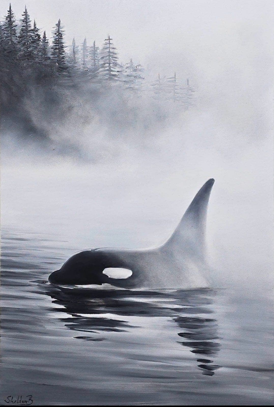
A Yahull gathering
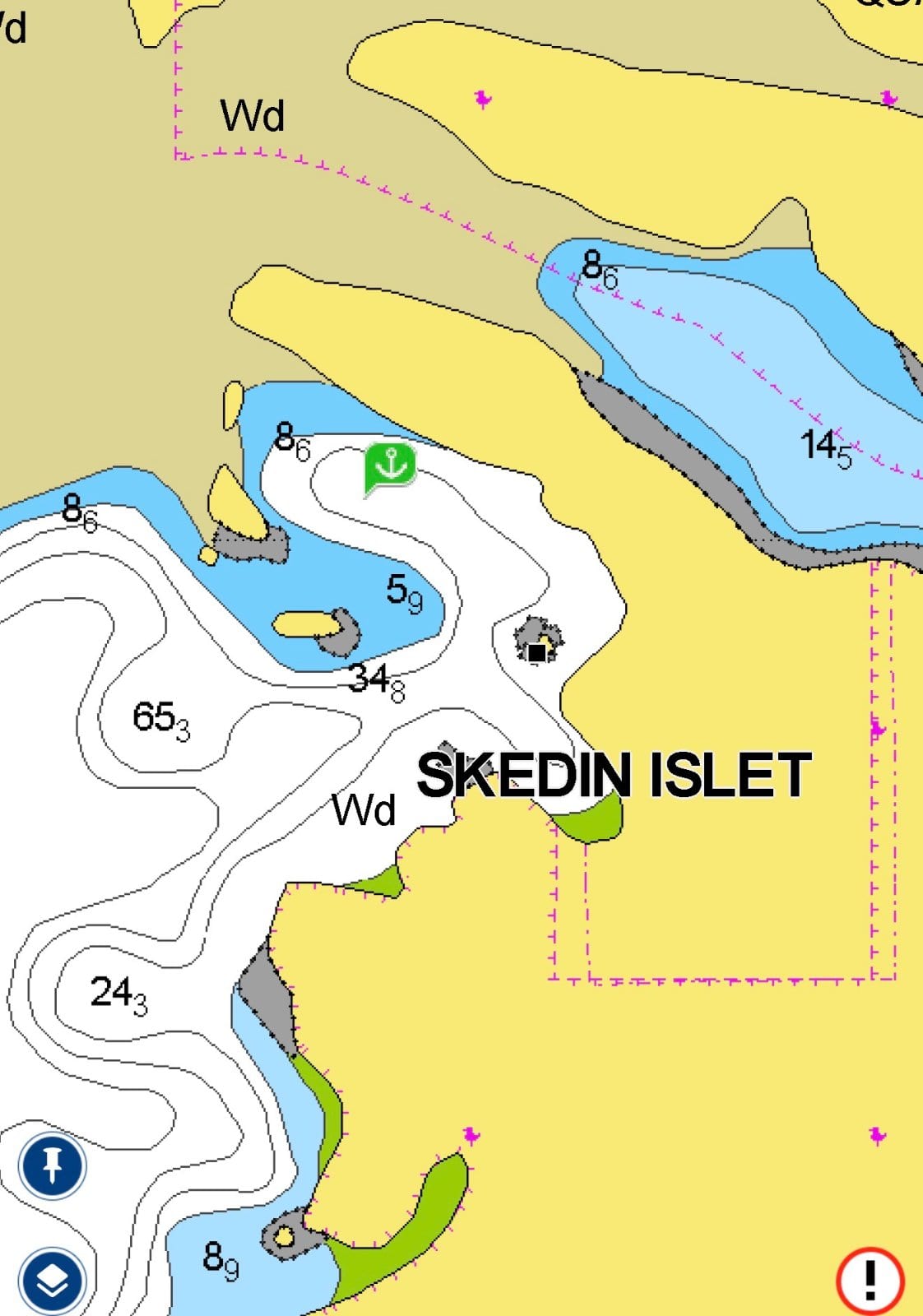
Linthlop Islet 7 days for Fishing
Thursday, July 30 · 11:00
East Cove, Vancouver Island
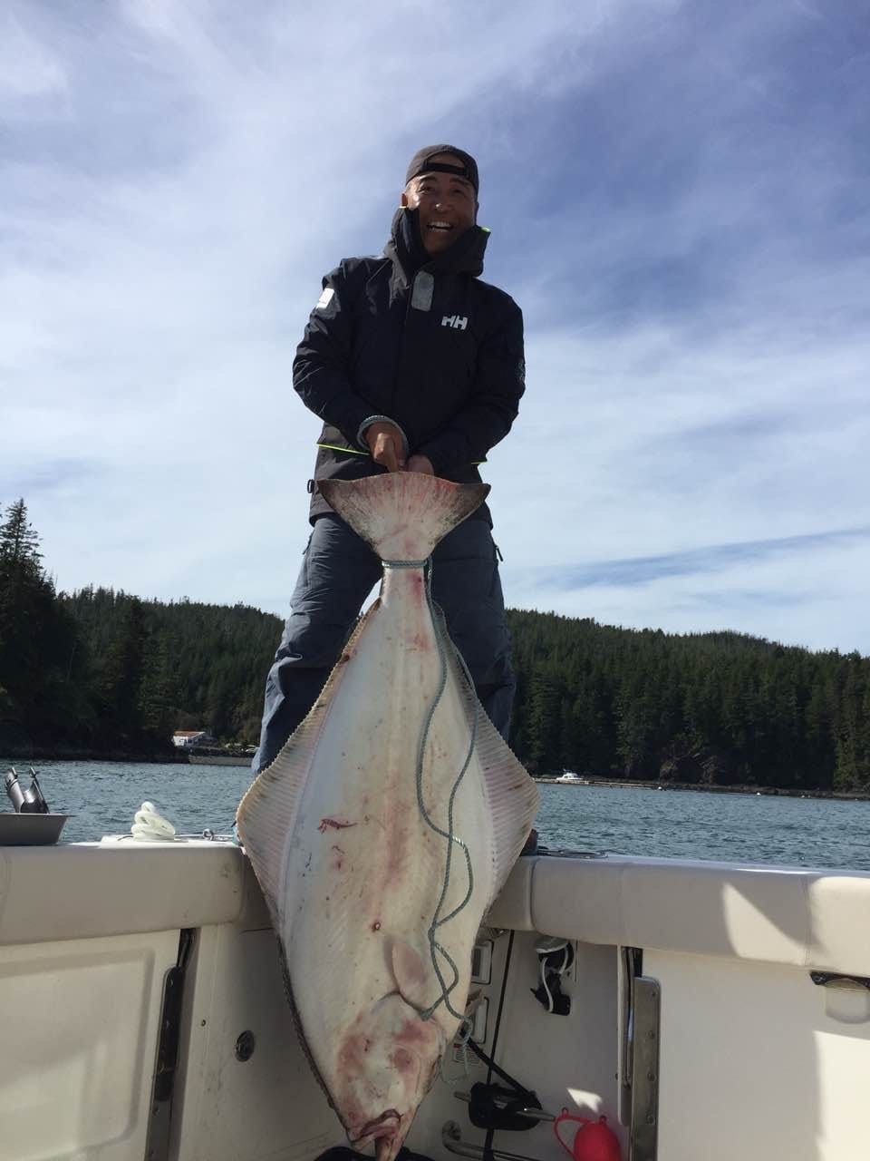
We plan to stay here for a week to fish in the open sea and sightsee in this bay. We've never been here before, so please give us some pointers if you see this. We also invite friends from the neighborhood to come and meet us in the evening, have a drink, and chat about sailing stories and fishing experiences!
People & history
- Quatsino village: a Norwegian colony recruited at the 1893 Chicago World's Fair — The hamlet of Quatsino exists because a BC government exhibit at Chicago's 1893 World Columbian Exposition offered free Crown-grant land — and Norwegian farm families from Fargo, North Dakota took the bait, arriving by steamship in the winter of 1894 to clear thirty 80-acre lots. St. Olaf's Anglican Church (1897) still stands as one of Vancouver Island's oldest buildings, and the village remains reachable only by boat or floatplane. Source: https://www.quatsino.org/history (cross-checked with https://coastview.org/2025/03/29/quatsino-quatsino-sound/)source →
- Xwatis: where four decimated nations joined into one (~1890) — About 4 km east of today's Quatsino hamlet lies Xwatis, the ancient village where around 1890 four Kwakwaka'wakw tribal groups — T'latsinuxw (Klaskino), Gusgimukw (Koskimo), Gop'inuxw (Giopino) and Qwat'sinuxw (Quatsino), with village sites from Raft Cove to Brooks Peninsula — amalgamated after 150 years of disease and warfare had decimated their populations. In 1893 the federal government designated 250 acres around Xwatis plus the offshore islets as Quattishe IR #1; the band relocated near Coal Harbour after 1966. View from the water with respect — do not land or disturb.source →
- Quatsino Sound's other fishery: shell money harvested with a broom — Quatsino Sound was one of the few known sources of hiqua (dentalium) — tusk-shaped shells the Kwakwaka'wakw harvested off the seabed at roughly 15 m depth using a long broom-like tool. Strung at a standard of 40 shells per fathom, these shells circulated as a trade currency for over 2,500 years, reaching Arctic and Great Plains peoples as far east as the Great Lakes, and could buy canoes, houses and furs. A fishery most cruisers pass right over without knowing it.source →
Land & views
- A drowned fjord carved through equator-born rock — The waters around East Cove sit on the Wrangellia terrane — flood basalts erupted near the equator ~230 million years ago that rafted northeast and welded onto North America, capped locally by the limestone of the Quatsino Formation. The Cordilleran ice sheet then streamed down this valley, scouring the fjord that drowned as seas rose after deglaciation ended about 11,000 years ago. The scenery here is literally imported rock, glacially finished.source →
Good to know
- Quatsino Narrows: a charted current station of its own (CHS 08760) — The Canadian Hydrographic Service maintains a dedicated current-prediction station for Quatsino Narrows (station 08760, at 50.555, -127.555) — one of very few named current stations on all of Vancouver Island's west coast, listed alongside heavyweights like Nakwakto Rapids and Seymour Narrows in the official tables. That listing alone tells a skipper this passage runs hard enough that CHS publishes turn-and-slack predictions for it; anyone bound through to Coal Harbour or Rupert Inlet should pull the official predictions first. Final judgment rests with the captain on the water.source →
- Quatsino Lightstation, Kains Island: still staffed — and now a subsea fibre landing site — The light guarding the north side of the Quatsino Sound entrance is not an automated skeleton tower: federal project records show Quatsino Lightstation on Kains Island is an active Canadian Coast Guard station with ongoing works (diesel fuel system replacement) — and the Connected Coast subsea fibre-optic cable is designed to land within the lightstation property itself, with marine cable-lay work below the high-water mark. A working CCG station plus a charted cable landing at the sound's front door is worth knowing before closing that shore. Final judgment rests with the captain on the water.source →
Final judgment rests with the captain on the water.
Nearby services
- Coal Harbour: fuel, laundry — and a 20-minute bus back to civilization — Deep in the sound's eastern end, Coal Harbour has a fuel dock, a small marina with showers and laundry, and a seaplane base — and, surprisingly for a spot nearly 100 sea miles around the top of the island, a bus that reaches Port Hardy in about 20 minutes, making it the sound's easiest re-provisioning stop. Community cruising report — details unverified; confirm services before relying on them.source →
Getting there
- Winter Harbour — three ways in to the nearest road-connected village (≈7 nm west) — Winter Harbour, the closest community with road access, is reached by ~75 km of active gravel logging road from Port Hardy — passable for any vehicle with good tires, but rough after rain and off-limits for most rental cars. Floatplane options: Pacific Coastal from Port Hardy, Joey's Air Cab from Coal Harbour, and Tofino Air charters direct to the dock. Many skippers skip the road entirely: launch at Coal Harbour and run ~45 minutes down Quatsino Sound by boat; note the Winter Harbour launch itself is a bulldozed bank cut usable only near high tide.source →
Things to do
- Quatsino Provincial Park & Koprino Campsite — a free wilderness base one cove over — The 654-hectare undeveloped park wraps the east side of Koprino Harbour out to Shapland Cove and contains known archaeological sites; the Koprino River estuary is critical fish-rearing and waterfowl habitat and a noted eagle-viewing spot. The user-maintained Koprino Campsite (shown on some maps as Spencer Cove Recreation Site) has 10 sites with fire rings, picnic tables and a pit toilet — no fee, campers must be fully self-sufficient. The closest boat launch is beside the log dump in Koprino Harbour, near the small Holberg Yacht Club docks. Indigenous archaeological sites: view respectfully from the water, do not disturb.source →
- Shellfish around East Cove: DFO Areas 27/127 — check before every harvest — East Cove sits in DFO tidal Area 27 (Cape Scott–Quatsino), where bivalve openings and biotoxin/sanitary closures change through the year — DFO's rule is to check the subarea table or real-time shellfish safety map every single time before harvesting. Permanent closures also apply near outfalls, marinas and fish-farm net pens regardless of biotoxin status, and a tidal waters sport fishing licence is required. Check status after arrival, then harvest — never from memory. Final judgment rests with the captain on the water.source →
Curated & approved by the host.
Who's this for
New to the water or an old hand — anyone curious and up for a friendly day out is welcome. No experience needed; just bring yourself and a warm layer.
Boats on the day
- · King Fishing — with Fishman (up to 6)
Sign up
2 people have joined so far.
Just your name and a way to reach you — the rest is optional.
Stories from the water
Photos from past meetups will live here.
Meetups happen on real water. The final call on the day always rests with each boat's captain — weather and sea state can change plans, and that's part of real boating.